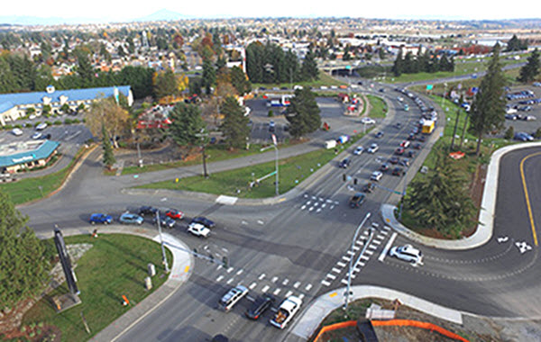
I-5 / 4th Street Interchange
Left:
Aerial View
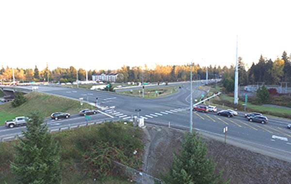
Below:
Camera view facing Southeast

4TH STREET AND 88TH STREET NE CORRIDOR IMPROVEMENTS PROJECT
The Tulalip Tribes are now planning to develop and implement access improvements to the 4th Street and 88th Street NE interchanges on the Interstate 5 (I-5) corridor within the boundary of their reservation. Here you will find background information, current status, and a summary schedule of the project.
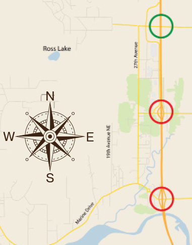
The Tulalip Tribes of Washington Reservation is accessed via three interchanges on I-5 within the eastern boundary of the reservation. These accesses are critically important to The Tulalip Tribes (Tribes) for access to and from the reservation. The only other access to the reservation is via a single county road, 140th Street NE, at the northern boundary and via the waters of the Puget Sound and Snohomish River. Goods, services, higher education, healthcare, jobs, and economic development depend on safe efficient access to and from the reservation.
Over the past several years, the Tribes have implemented major improvements at the 116th Street NE Interchange at the northeast end of their reservation. This interchange improvement addressed capacity needs, congestion relief, and safety improvements for drivers, freight, non-motorized users and transit. The Tribes led and funded nearly all the planning, environmental documentation, design, permitting and construction of these improvements through several phases of construction. Several agencies also contributed funding to the completion of this project including BIA, FHWA and WSDOT. The construction of the final phase of improvements at the interchange was completed in the summer of 2020. In total, this project has taken over 10 years to develop and implement at a total cost of over $65 million dollars.
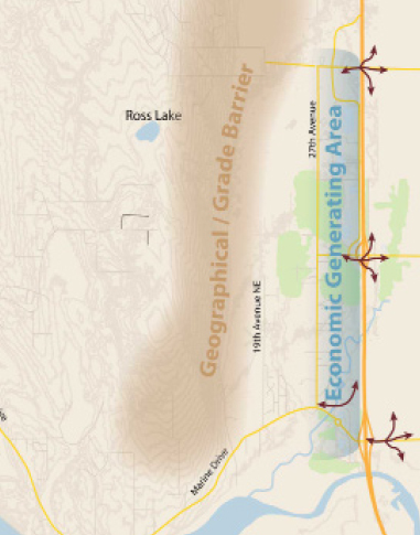
The Tribes are now planning to develop and implement access improvements to the remaining two interchanges on the I-5 corridor within the boundary of their reservation. These two interchanges at 88th Street NE and 4th Street State Route 528/Marine Drive experience congestion and mobility challenges for cars, trucks, pedestrians, and transit users. Frequently, I-5 traffic exiting to enter Tulalip Tribes or the City of Marysville (City) at both interchanges experience off ramp backups that can extend back on to the I-5 mainline lanes of traffic. This impacts the Tribes and the City as well as the greater Snohomish County area, interstate travel and commerce, and even international trade with Canada. The configuration of the local road connections at the interchanges also hinders commuters, residents, visitors, freight, transit, and non-motorized connections between the Tribes and the City of Marysville. This causes lengthy delays at the signals crossing I-5 between these two communities for commerce and emergency services.
Left:
Aerial View
Below:
Camera view facing Southeast
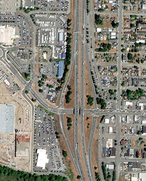
Left:
Aerial View
Below:
Camera view facing Northwest